Drone-Based Methane Measurements
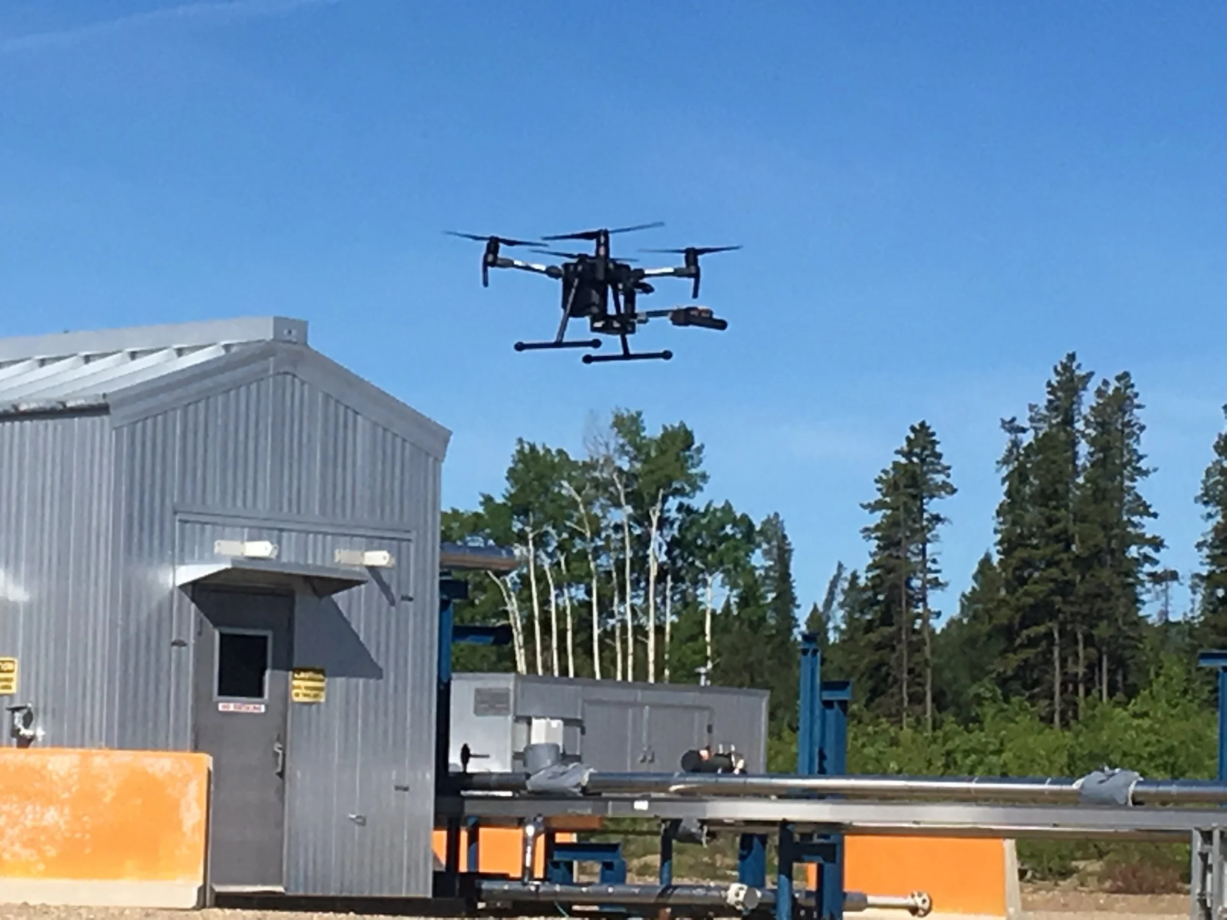
Drones equipped with methane sensors offer a promising way to measure emissions from above and around sites that may be difficult to access from the ground. As a drone flies downwind of a methane source, its instruments measure changes in methane concentrations at different locations and heights. By combining these measurements with wind data and computer models, researchers can estimate how much methane a site releases into the atmosphere.
Although drones have demonstrated potential for measuring emissions from sources such as landfills and wastewater treatment facilities, their use in urban environments can be limited by airspace restrictions and flight permit requirements. These challenges have made drone measurements impractical for CURMET's current research activities in Calgary.
As drone technology continues to advance, CURMET will monitor developments in measurement capabilities and aviation regulations. If access becomes more practical in the future, drones could provide another valuable tool for measuring methane emissions and improving Calgary's methane inventory.
Ground Robots
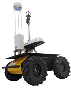
Small ground robots offer new ways to measure methane emissions in hard-to-reach areas, automate data collection, and demonstrate emerging monitoring technologies. Challenges include navigating uneven terrain, limited battery life, and collecting reliable measurements under changing environmental conditions. As technology advances, these robots could become valuable tools for making methane monitoring more efficient and accessible.