SATELLITE / MODELLING
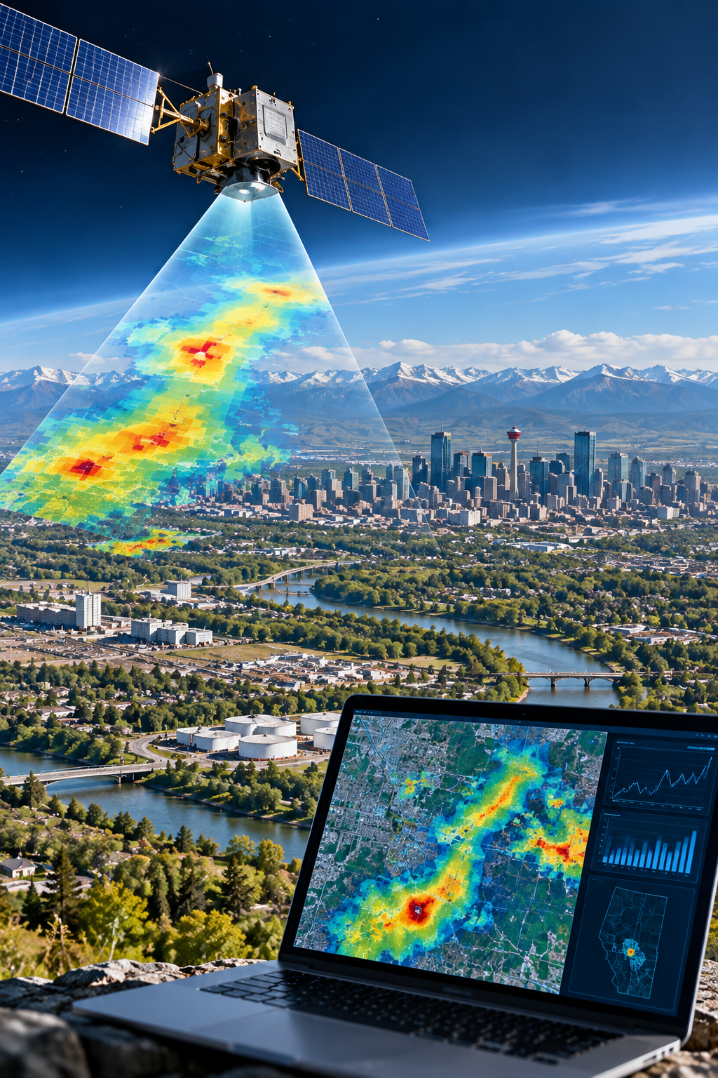
We used the TROPOMI satellite to measure methane over Calgary. From space, Calgary appears as a small but clear methane hotspot. The satellite also detected higher methane levels near known sources, including landfills and wastewater treatment facilities. This shows that satellites can help identify major methane sources within a city.
TROPOMI cannot provide detailed measurements for every individual source because its measurements cover relatively large areas. However, the data can be used to estimate total methane emissions across the city.
Our research estimated that Calgary emitted approximately 215 tonnes of methane per day, although there is considerable uncertainty in this estimate. This was much higher than emissions estimated using conventional reporting methods. The difference suggests that some urban methane emissions may be underestimated or missing from existing inventories.
These results demonstrate how satellite measurements can provide an independent view of methane emissions across an entire city and help identify where existing emission estimates could be improved.
Project lead: Zhenyu Xing
Publications
Xing, Z., Barchyn, T.E., Vollrath, C., Gao, M., Hugenholtz, C.H. 2024. Satellite-derived estimate of city-level methane emissions from Calgary, Alberta, Canada. Remote Sensing 16, 1149. https://doi.org/10.3390/rs16071149.